Trinity Cemetery
LOCATION: Corner of Cottonwood Valley Road at Goode, north of Belt Line Road, east of 1-45 (Hwy 75), Wilmer, TX [Three other cemeteries have had the name of Trinity: Greenwood Cemetery, Trinity Farms Rancho Grande, and Trinity Portland Cement.]
- MAPSCO: 88D
- GPS: 32.5988998, -96.6769028 (Google)
- DGS Cemetery Map
- On Google Maps
- On Findagrave
Driving Directions: From IH 45, go 0.3 mile east on Belt Line Rd. E. Turn left at Goode St. and go 0.3 mile north to sharp bend in road. Cemetery is located at sharp bend in road, just north of Cottonwood Valley. The cemetery is well maintained and active. Some of the older markers are damaged. (Texas Historical Commission)
This cemetery was inventoried 22 July 1992 by DGS volunteers and data was reviewed in 2011.

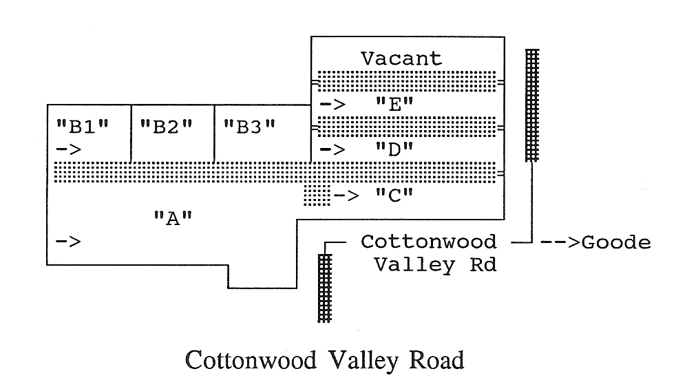
– > Beginning point of each section (lower left corner), copied by rows, but keeping family lots and groupings together. Section “B” was divided into three parts for inventory purposes only. Plot/grave numbers were added to the database in the order that the cemetery was inventoried to assist individuals to find potential family groups.
* Indicates joint marker
::: Cemetery driveways
