
Location, Location, Location
By Ann Broihier
One of the essential items in doing genealogy is knowing the location where your ancestor lived. This is not always as easy as it sounds. In the early days of the U.S. the state and county boundaries changed many times. A person could live in one state one day and the next day, in another. Maps can also give context to the records you find. They can identify political boundaries, place names, churches, geographical features, cemeteries, and migration/transportation routes. Historical maps are especially useful for understanding the boundary changes or finding places that no longer exist.
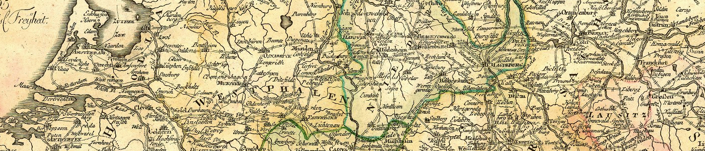
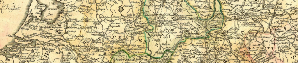
Maps are especially important for researching in Germany, since it was not even a nation-state until 1871. Some of our ancestors lived in places like ‘Prussia’ which today spans parts of several countries. We need different maps covering many years to be able to figure out where the records might be located. FamilySearch and Ancestry index German records based on the past. In Germany, however, the records are stored in present-day towns and archives.
So where can we find these maps? You may find maps at archives, libraries, and historical societies where your ancestor lived. There are many resources available online. To help you in your research, I have compiled a list of some websites and collections I’ve found to be useful. I hope they help you as well.
- Google Maps: https://www.google.com/maps
- Family Search: https://www.familysearch.org/wiki/en/Maps
- Ancestry: https://www.ancestry.com/search/collections/catalog/?keyword=maps
- Cyndi’s List: https://www.cyndislist.com/maps/
- USGenWeb for the county: http://usgenweb.org/
- Wikipedia: https://en.wikipedia.org/wiki/Atlas
- David Rumsey: https://www.davidrumsey.com/ – Under View Collection – The Luna Viewer and MapRank Search might help the best.
- Old Maps Online Collection: https://www.oldmapsonline.org/
- U.S Railroad Maps: https://www.loc.gov/collections/railroad-maps-1828-to-1900/about-this-collection/
- European Transportation Maps of the 19th Century: https://www.lib.uchicago.edu/e/collections/maps/eurotransport/
- Library of Congress Maps Collection: https://www.loc.gov/maps/
- Norman B. Leventhal Map & Education Center at the Boston Public Library: https://collections.leventhalmap.org/
- Perry-Castañeda Library Map Collection: https://legacy.lib.utexas.edu/maps/
- Europe Maps: https://mapire.eu/en/
Here is a smattering of websites where you will find maps specific for areas that speak German.
- Meyers Gazetteer: https://www.meyersgaz.org/
- GOV: Genealogical place dictionary CompGen detailed, including history of place: http://gov.genealogy.net/search/index
- Foundation for East European Family History Studies: https://feefhs.org/map/library
- Kartenmeister, historic and today’s Polish and other Eastern places: http://www.kartenmeister.com/preview/databaseuwe.asp
- Maps of Germany Wikimedia extensive collection: https://commons.wikimedia.org/wiki/Atlas_of_Germany
- Pomerania Maps: http://mypomerania.com/maps/
- Rhine valley 1500–1900: https://www.dilibri.de/dilibri/nav/classification/31737
- The Hessen Regional History System (LAGIS): https://www.lagis-hessen.de/en/kat2
- Ravenstein Atlas des Deutschen Reichs: https://search.library.wisc.edu/digital/ARavenAtlas
Image credit: Luna Collection, The University of Chicago, Postarum seu veredariorum stationes per Germaniam et provincias adiacentes, 1805