Using the Texas Historical Commission Atlas of Cemeteries
by Barbara Ware, Ph.D.
The Texas Historical Commission (THC) has a list of cemeteries, courthouses, national register properties, state antiquities landmarks, historical markers, and museums on its Texas Historical Sites Atlas.
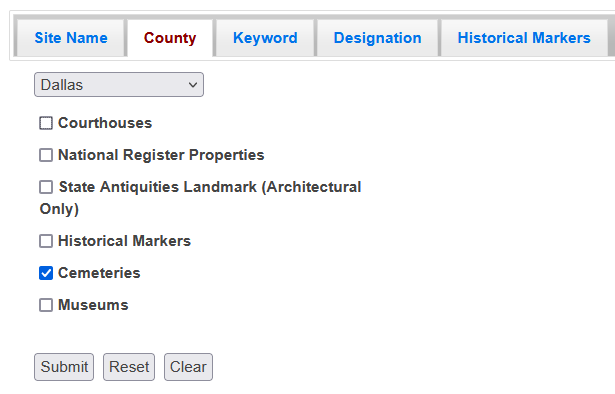
Select the County tab. Use the dropdown menu to find the desired county. Then deselect all options except Cemeteries. Press Submit. A list of cemeteries in the THC Atlas will appear. Scan the list and select the cemetery you are looking for. Two options will appear: Record Data and Map. Dallas County has 194 entries on the THC Atlas website. For a comparison, the DGS online cemetery map lists 257 cemeteries.
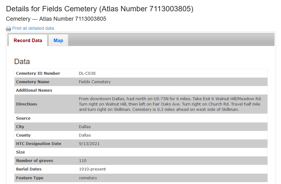
The Record Data includes the cemetery name, any additional names, directions, city, county, HTC designation date, size, number of graves, burial dates, GPS coordinates, atlas number and whether there is a map.
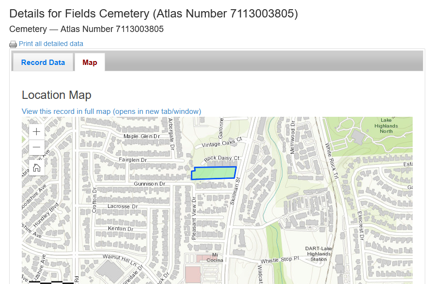
The Map tab shows the mapped location, outline of the cemetery, location within the county. Green dots show additional historic marker locations within the cemetery and/or surrounding areas. Dotted lines will show adjacent cemeteries. To return to the list, click on the small x in the top right of the map view.